

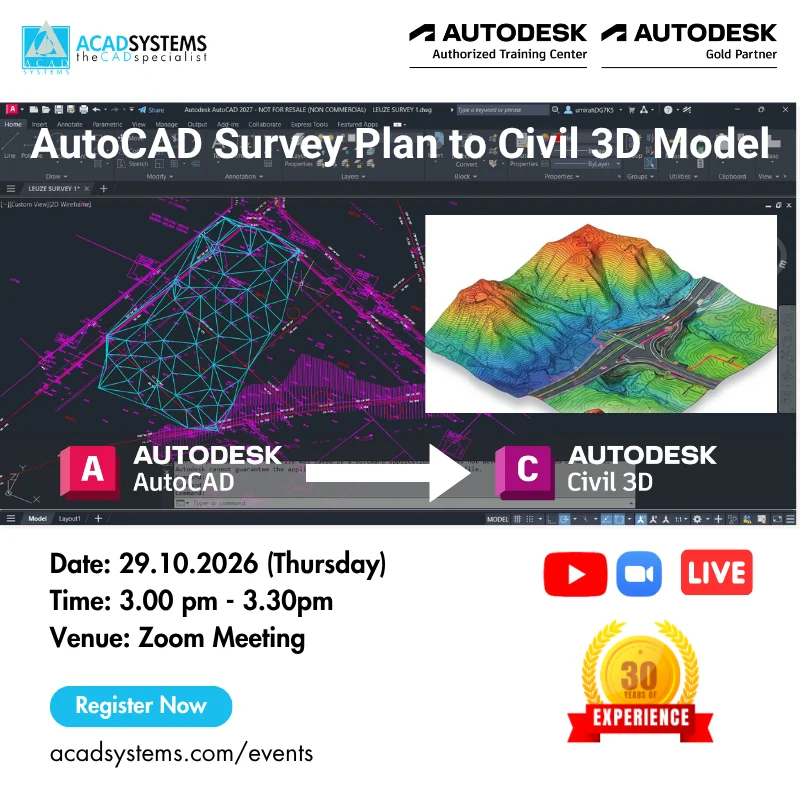
AutoCAD Survey Plan to Civil 3D Model
Who Should Attend: Civil Engineer, Land Surveyor, Infrastructure Designers and CAD Draftsman.
An AutoCAD survey plan contains essential site information such as survey points, boundaries, contours, roads, drains, structures and other existing features. Converting this 2D plan into a Civil 3D model creates an intelligent, coordinate-based representation of the site that can be used efficiently for analysis, engineering design and project documentation.
In this free online lesson, participants will learn a practical workflow for reviewing and cleaning survey drawings, importing survey points and break lines, creating an existing-ground surface, and applying suitable styles and labels. The session will also cover basic model checks to help produce an accurate and reliable Civil 3D model ready for infrastructure planning and design.
RSVP now to learn more about it, SEATS ARE LIMITED.
Join our Free Online Lesson to Explore AutoCAD Survey Plan to Civil 3D Model.
FREE ONLINE LESSONS
Date: 29th October 2026 (Thursday)
Time: 1500 pm to 1530 pm
Zoom Meeting URL: https://us02web.zoom.us/j/81028093400
Come and join our free online lessons and learn. All you need is your PC or smartphone and an Internet connection. No obligations. Just your time and attention are needed. How to join the free online webinar: Click on the link provided for the webinar 2 minutes before the start time. First-time user of Zoom meeting is required to install the app.
RSVP is compulsory as seats are limited. Book Now to avoid disappointment.
CAD is Cool Exciting Fun – Let Acad Systems take care of the how so that you can focus on the what
Do you need a hands-on workshop on a different topic? You can request here
Save the event date and time in your calendar by clicking on the buttons below. Ical can be used on Microsoft Outlook, Office 365, IOS for Apple, etc.


